Blizzard. My Actifit Report Card: January 5 2025

in Actifit2 months ago

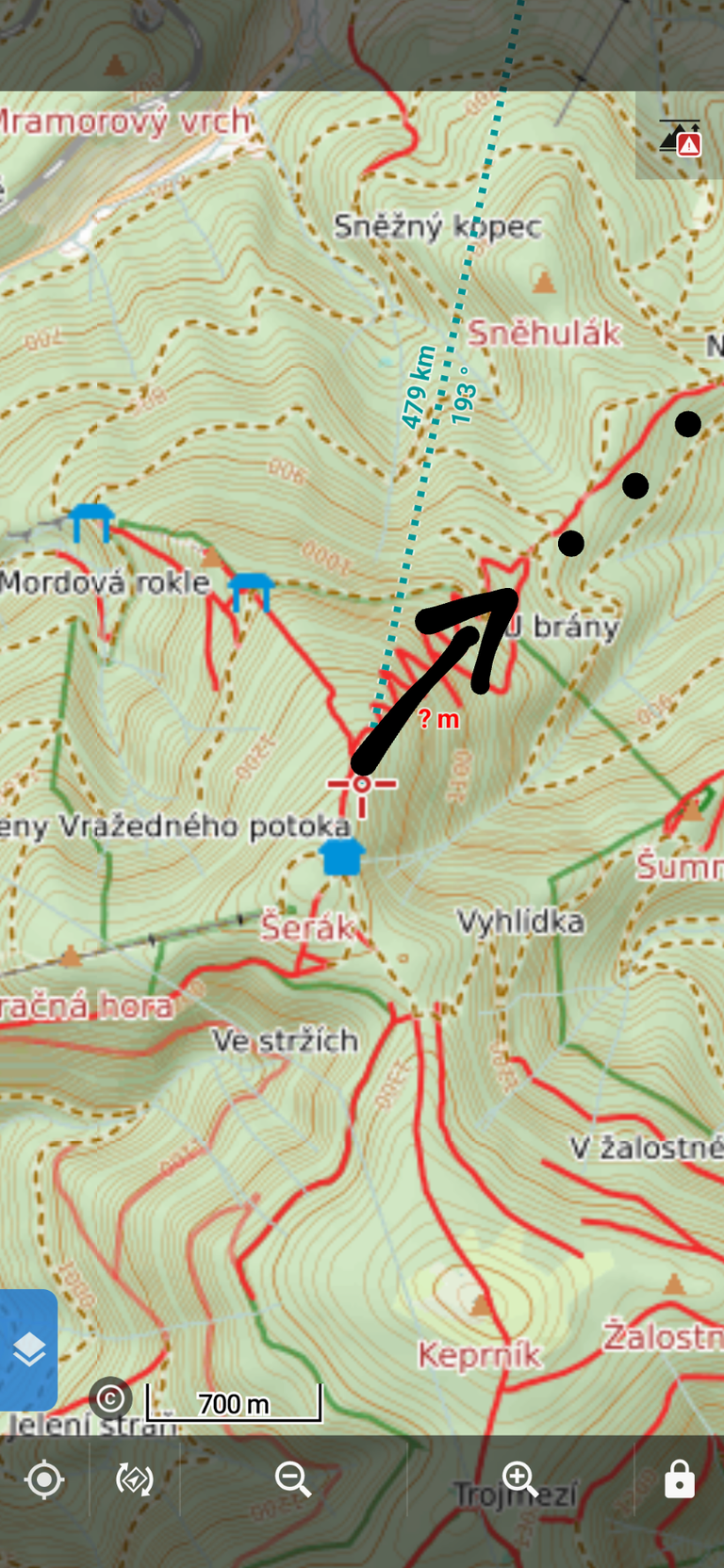
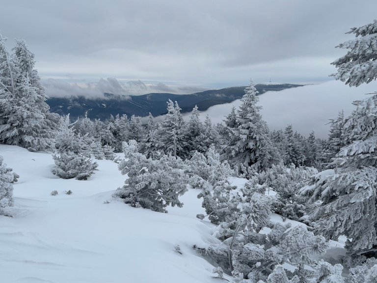
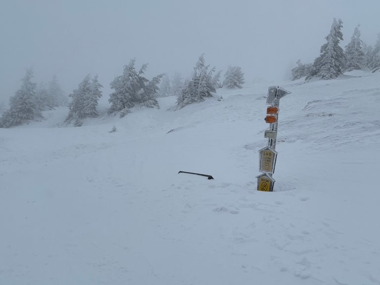
The weather forecast for today had not been optimistic. Low temperatures, wind and snowfall. I had to plan our hiking route carefully.

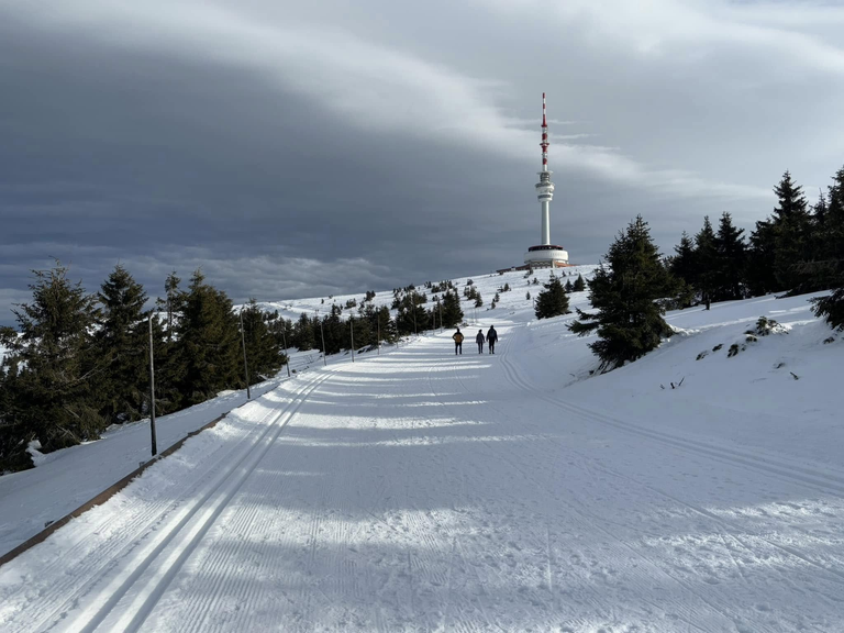
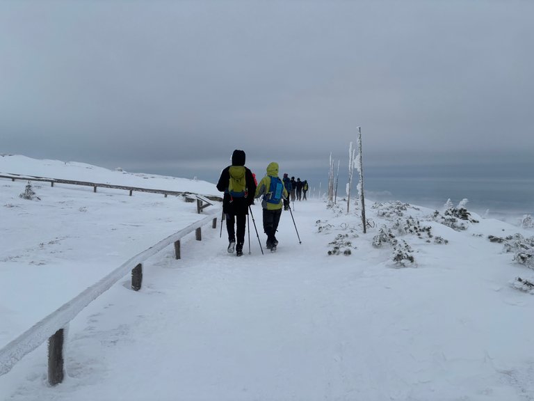
The Jeseniky Mts surprised me with well prepared trails. Our route from Červenohorske sedlo to Šerak mountain cabin had a long part along a cross country trail. It was so well prepared that we walked as if on a pavement. This allowed us to reach the destination 1,5hrs before my estimated time and a safe return despite a building snow blizzard.

@bucipuci - fantastic time here. One last day tomorrow (Pradėd) but I think I’ll rerun here in the summer


This report was published via Actifit app (Android | iOS). Check out the original version here on actifit.io


05/01/2025
33679
Hiking

Sort:  

The winter weather there is very treacherous. When a blizzard starts on the peaks, it is sometimes better to bury yourself in the snow like a bear :-)

Šerák is my "heart mountain" just like yours is Babia gora :-)

I am glad for the kadeřník which had run between Cervenohorske sedlo and almost Cervena Hora. The hard trail made it possible to make speedy ascent, we reached Šerak before 11am. A break there (boruvkovy kolac) and we went back. The wind was picking up at Keprnik, then we traversed Cervena Hora and by the time the blizzard hit, we were safe on the groomed track.

Today (Monday), the weather was 180 degrees different. I enjoyed Praded very much in almost perfect winter conditions.

The "track" is part of an international trail. That's why it's maintained as well as possible :-).

If you climbed to the top of the transmitter on Praděd, you would be at the highest point in the Czech Republic. It's higher than the peak of Sněžka.

Is it the Eisenach - Budapest trail?

I had heard that before, but it seemed like an urban legend - Sněžka is 1602m asl and Praded only 1492m. But I have learnt today that the TV tower is 143m high, which makes it the highest point of Czechia

I have no idea. On the map it is marked as E3 - Czech Trail.

The tower is such a "pearl". Many people don't even know about it :-)

image.png

:-)

 last month Reveal Comment

Thanks :-)

Byliśmy tam 7 lat temu i zachwycił mnie daleki widok z miejsca które zaznaczylem na mapie. W oddali jakieś kominy były, woda i pojęcia nie mam czy to Kędzierzyn-Koźle czy coś innego. Dla mnie to było jak odkrycie Ameryki/Indii ;)

From the place you marked, you can see the lakes near Otmuchów and Nisa nicely. Those chimneys were probably Opole.

Diki moc!

Congrats on providing Proof of Activity via your Actifit report!

You have been rewarded 80.41 AFIT tokens for your effort in reaching 33679 activity, as well as your user rank and report quality!
You also received a 0.99% upvote via @actifit account.


AFIT rewards and upvotes are based on your:

  • User rank: which depends on your delegated SP, accumulated AFIT tokens, rewarded post count, recent rewarded activity and owned AFITX.
  • Post score: which depends on your activity count, post content, post upvotes, quality comments, moderator review and user rank.

To improve your user rank, delegate more, pile up more AFIT and AFITX tokens, and post more.
To improve your post score, get to the max activity count, work on improving your post content, improve your user rank, engage with the community to get more upvotes and quality comments.

rulersig2.jpg
Chat with us on discord | Visit our website
Follow us on Twitter | Join us on Telegram
Download on playstore | Download on app store

Knowledge base:
FAQs | Whitepaper
How to signup | Maximize your rewards
Complete Actifit Tutorial
rulersig2.jpg
Support our efforts below by voting for: